| Why Water Diversion Project Is Still Making Ripples
By staff reporters TANG SHUBIAO, ZHAO YAYUAN & JIAO FENG
Shen Fengsheng participated in the feasibility study, planning and construction of the South-to-North Water Diversion Project. Zhao Yayuan
MANY water projects of a massive scale have achieved fame around the world; few people have not heard of the Aswan Dam in Egypt, the Hoover Dam in the U.S. and the Itaipu Dam where Brazil, Paraguay and Argentina touch each other. But few are comparable to the South-to-North Water Diversion Project in China – a large-scale trans-basin water diversion project designed to take water from China’s water-rich southern area to the dry north.
The idea for the project originated in the early 1950s. At that time the official in charge of the Yellow River conservancy proposed to Chairman Mao Zedong that a diversion of water from the bountiful Yangtze River to the Yellow River would alleviate water shortages in the Yellow River, Huaihe River and Haihe River basins. Mao approved the proposal with the comment: “Southern water is plentiful, while northern water scarce. If possible, borrowing some water would be good.” The Chinese government put the project on its agenda and the rest is history.
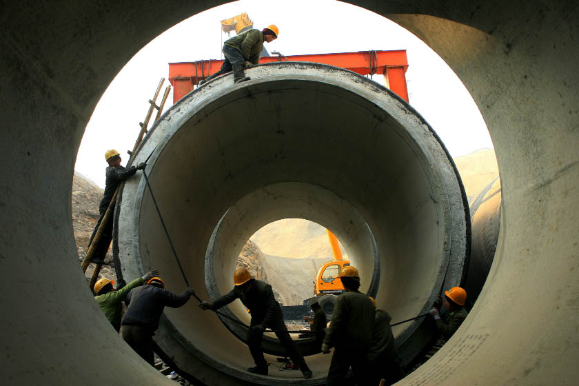
After a half century of feasibility studies, inspections of terrain, and assessments of 50-odd alternative plans, construction of the project was launched in December 2002. Three water diversion routes would be developed – the Eastern, Central and Western routes — and the construction was expected to be completed in 50 years.
It has been nine years since the first phase of construction laid the groundwork for the eastern and central routes, but much discussion, not to say controversy, persists about the project. Why does China have to build this project? What are the functions of the project? China Today took the questions that won’t go away to Mr. Shen Fengsheng, chief engineer with the South-to-North Water Diversion Project Comission of the State Council.
Shen has participated in the research, planning and construction of the project. When he served as director of the Engineering Consulting Department of the Yellow River Conservancy Commission, he was engaged in particular with planning the Western Route. After being transferred to the Ministry of Water Resources, he was responsible for examining the studies and proposals for construction of the Eastern Route. Since he took the current post, most of his time has been devoted to the Central Route.
 |
|
Shen Fengsheng participated in the feasibility study, planning and construction of the South-to-North Water Diversion Project. Zhao Yayuan |
Is Diversion Necessary?
The country’s northern area has operated with a water scarcity problem for years. According to Shen, over 200 million people in northern China are facing drinking water shortages (to various degrees) and more than 7 million people are drinking contaminated water. The prospect of long-term water scarcity has also limited investment in some important industrial projects, delaying their start indefinitely. “The Chinese government has planned to divert water to the northern area since the 1950s. Without water, socio-economic development there is impossible,” cautions Shen. “Our goal is to make the Eastern Route operational by 2013, to complete the major construction of the Central Route by 2013 and to make the Central Route operational by 2014,” Shen adds.
The reasons for the situation and for the diversion should really begin with a sweeping review of China’s terrain. China is topographically high in the west and low in the east, and a bird’s-eye view of the country shows its terrain descends from west to east like a staircase. The Qinghai-Tibet Plateau at the top of the staircase is on average more than 4,000 meters above sea level and for this reason has been called the “roof of the world.” Toward the north and the east are the Mongolia Plateau, the Loess Plateau, the Yunnan-Guizhou Plateau, the Tarim Basin, the Junggar Basin and the Sichuan Basin. Further east, beyond the Greater Hinggan Mountains, the Taihang Mountains, the Wushan Mountain and the Xuefeng Mountain, there is the vast land extending eastward to the Pacific coast: Northeast China, North China and the Middle-Lower Yangtze plains.
|